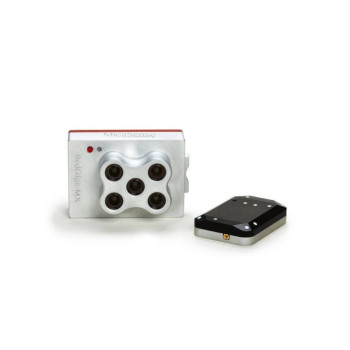
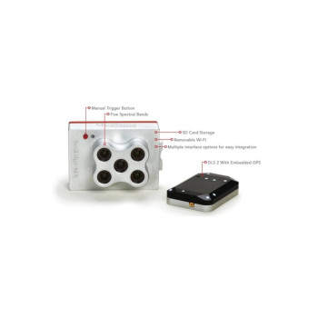
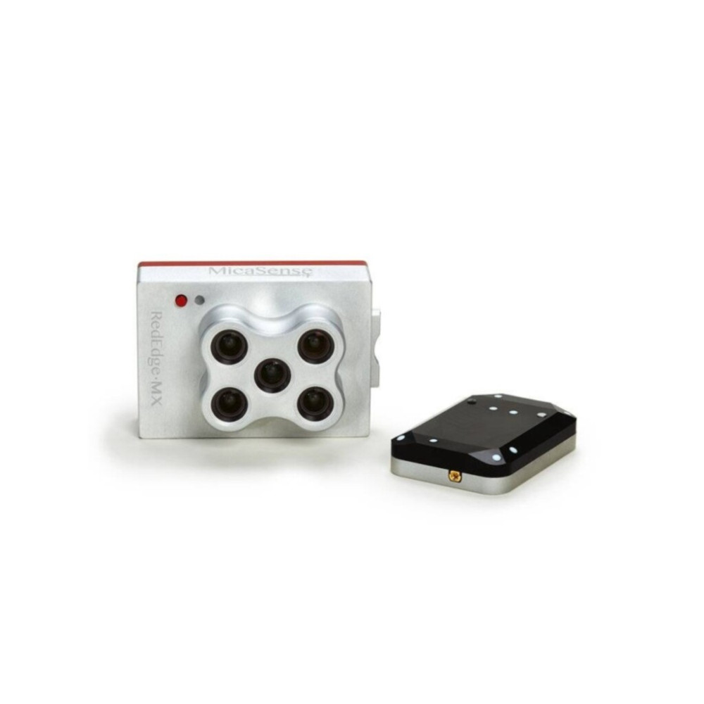
MICASENSE MULTI ESPECTRAL CAMERA REDEDGE-MX
- Código: 333429
- Marca: MICASENSE
- Estoque: Indisponível
-
$5.999,99
Não fazemos entregas fora do paraguai
Preços informados são em Dólares americanos, não incluem IVA e podem variar sem prévio aviso.
Specifications
(includes DLS 2 and cables)
(3.4in x 2.3in x 1.8in)
4 W nominal, 8 W peak
(global shutter, narrowband)
At MicaSense, we believe in delivering more than pretty pictures.
We believe in providing scientific solutions that address real problems.

1
Chlorophyll Map: The red edge spectral band is the star here, working in conjunction with the other bands to provide a more accurate measure of not just plant vigor but plant health.
2
NDVI Layer: This commonly known index compares the reflectance of the red band with that of the near-infrared band. However, this index alone provides limited information.
3
Digital Surface Model: A DSM is an astonishingly advantageous tool in any agronomist’s arsenal, primarily because of its use in evaluating surface properties and water flow.
4
RGB Image: RedEdge-MX features global shutters for distortion-free images, including narrowband red, green, and blue bands for RGB color images that when processed are aligned to all visible and non-visible bands and vegetation indices.
Interested in learning more about the power of layers? Read this blog post.

Explore RedEdge-MX data and use cases.
RedEdge-MX is action-ready, integrating seamlessly no matter the platform.
It has a compact design and is lightweight to work with as many drone models as possible. See integration kits available.


Looking for a drone and sensor package? Check out our drone integration partners.
It's simple to plan a successful mission.

FLY
The RedEdge-MX’s low weight, low power requirement, and ability to capture RGB and narrowband spectral bands simultaneously means you can gather the data you need in fewer flights. Have multiple UAVs? RedEdge-MX quickly integrates with many different drone platforms.

PROCESS
With RedEdge-MX, you own your data. You’re not limited to a particular processing platform. You can choose whichever platform is best for you, your customer, or your project.

ANALYZE
RedEdge-MX has five bands—blue, green, red, red edge, and near-infrared—that our research showed were optimal for sensing crop health. It simply shows you more. And with MicaSense Atlas, you can see many different analytical layers in one easy to use interface, and compare these outputs across time.

ANYWHERE
We know you need tools you can rely on. That’s why we built the sensors we wanted in the field—predictable, tough, and reliable—so you can gather the data you need when you need it.
RedEdge-MX is a reliable, accurate, high-precision sensor.
Fly a 100-acre field (at 400 ft AGL, 70% overlap) with RedEdge-MX in 27 minutes!*
*Based on multi-rotor aircraft


 R$
R$  G$
G$ 


